325SCT
Program
Urban study, Urban project
Location
Brussels
Date
2018 - 2027
Themes
Urban, Public
Phase
Ongoing
Surfaces
30 000 m²
Team
Agence TER, Arcadis
Client
Brussels Mobility
Budget
10 000 000 €
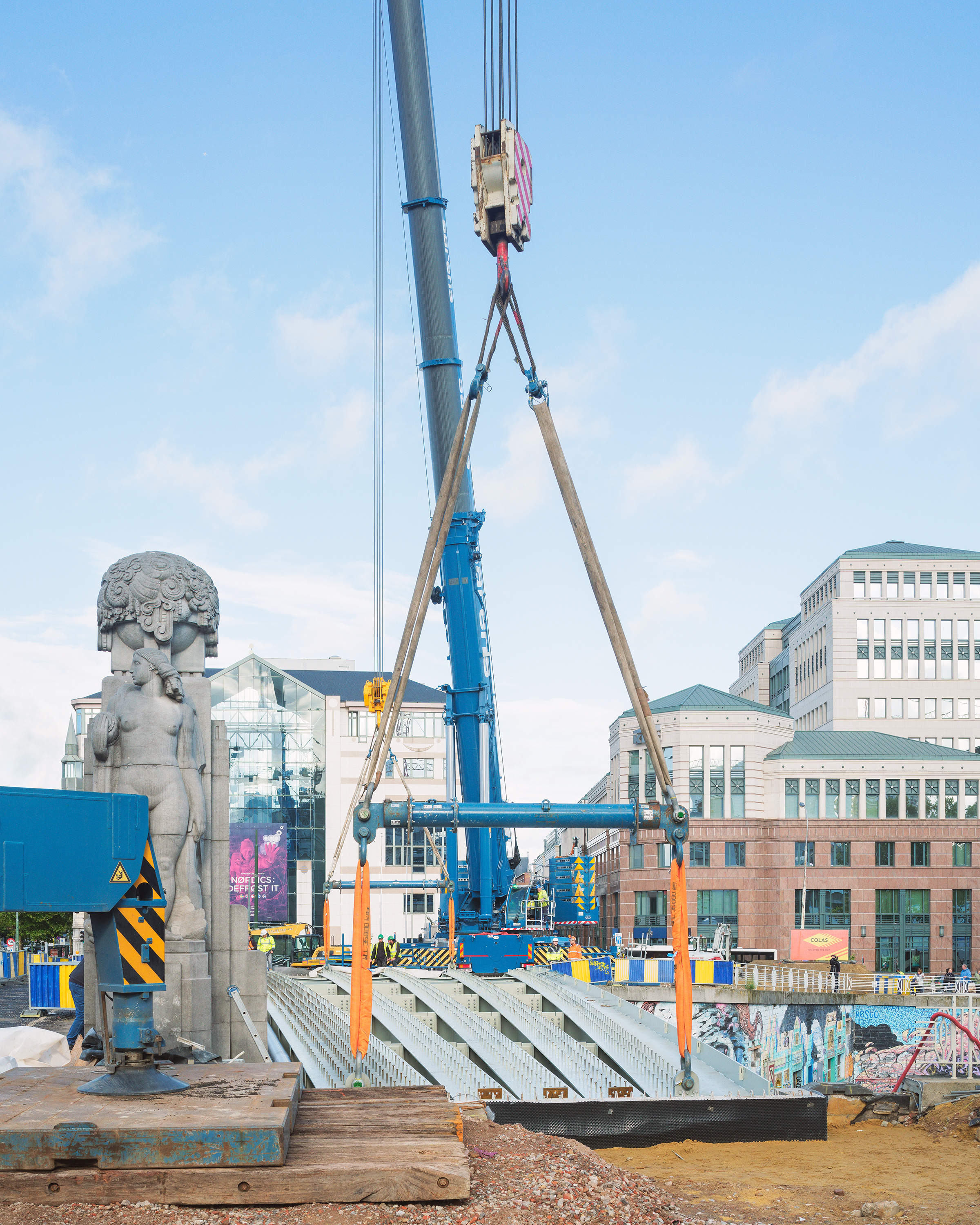
Redevelopment and upgrading of the square, the bridges, and Square Sainctelette, as well as the Place de l’Yser
A compass for major metropolitan landscapes
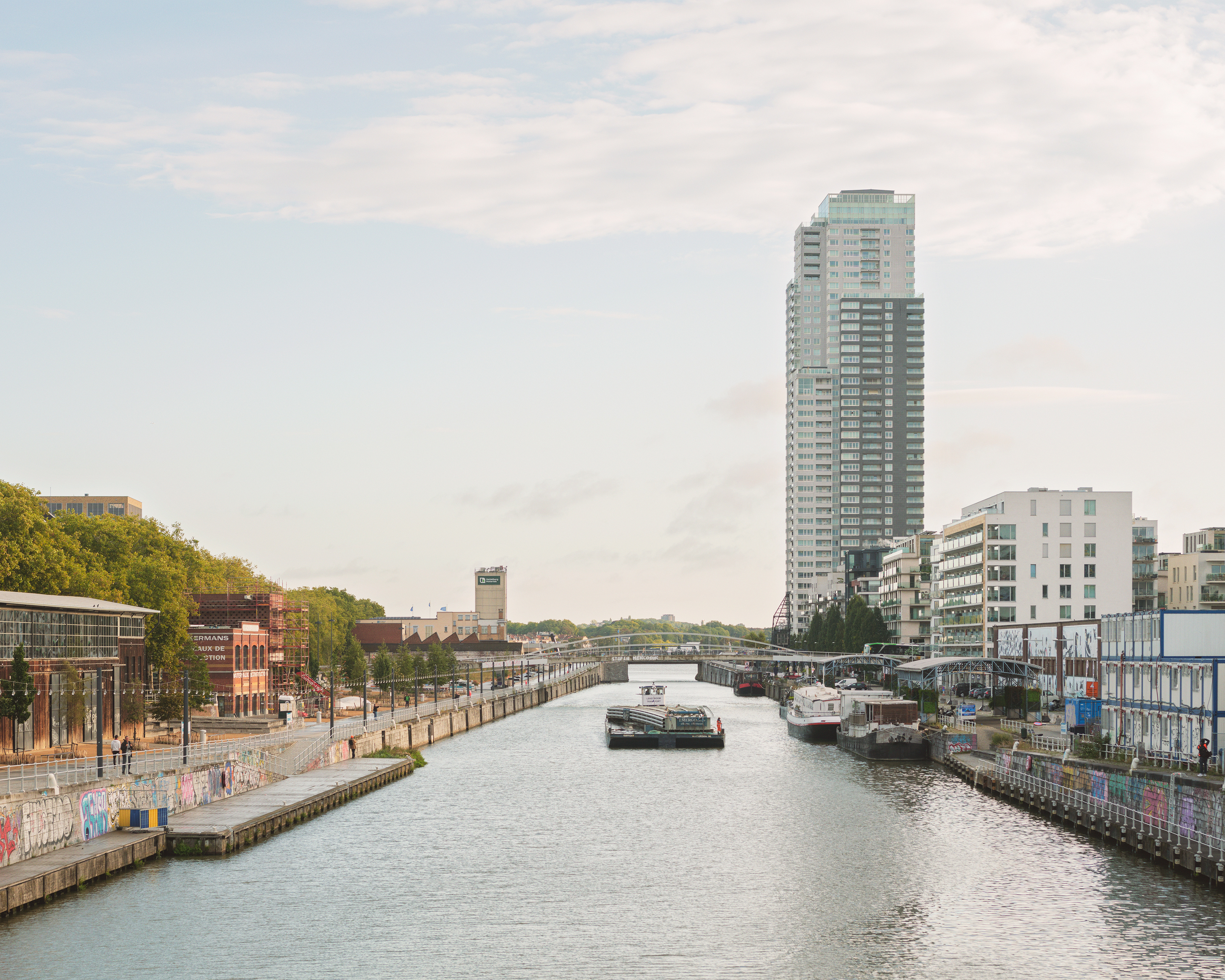
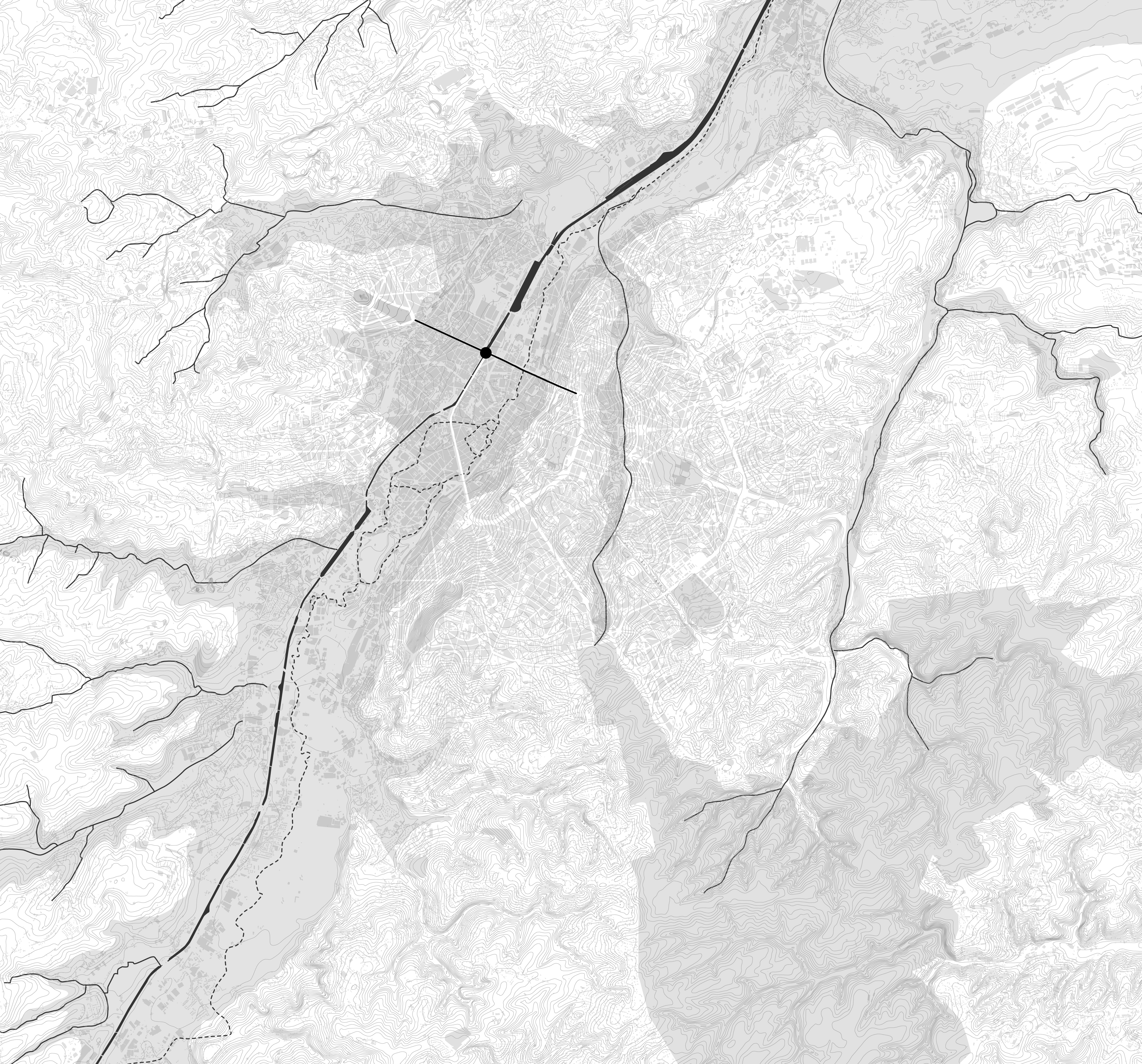
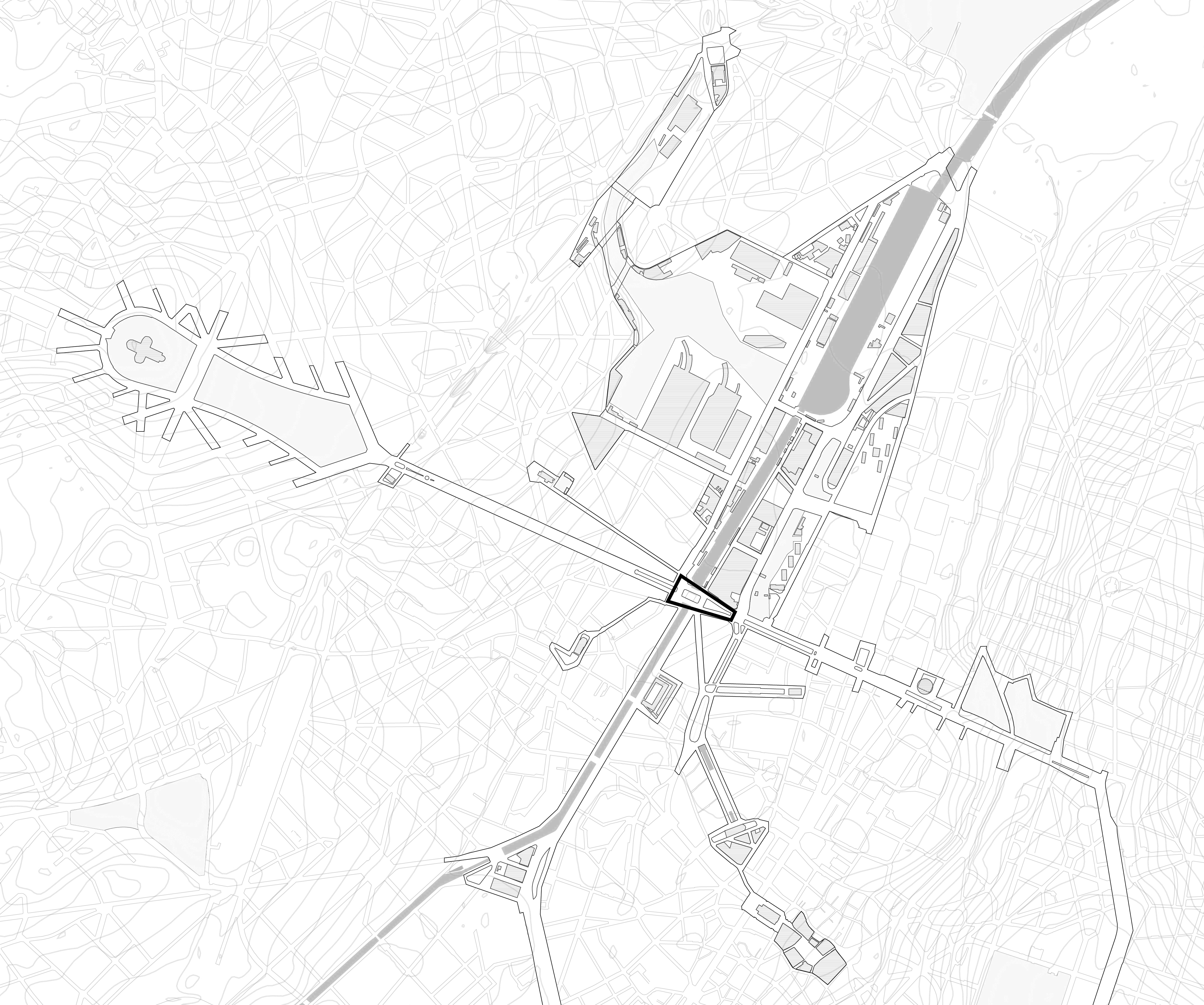
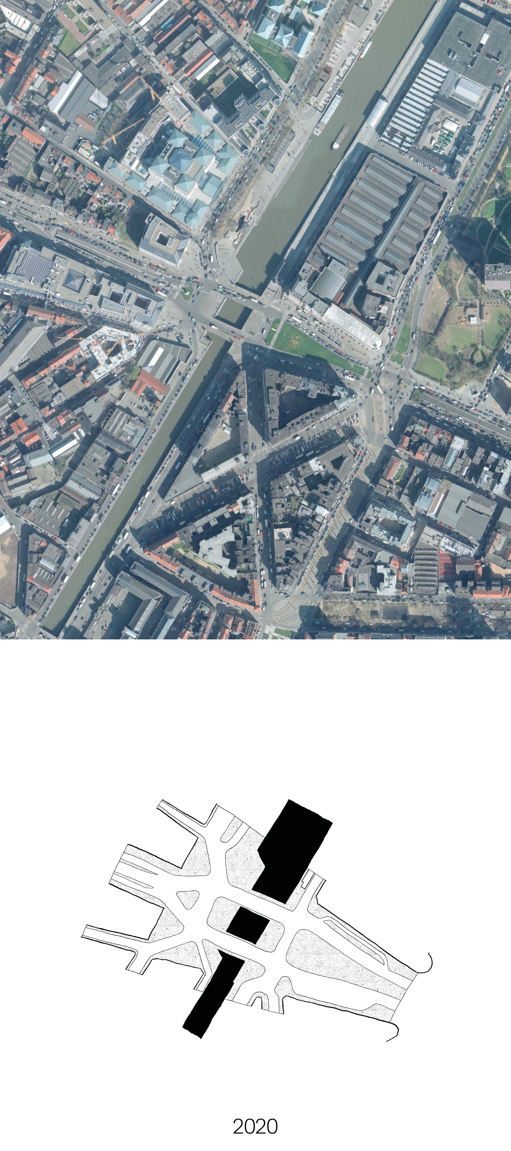
Sainctelette is located at the intersection of two major territorial structures in Brussels: the canal axis and the Leopold II axis. This position gives it an exceptional vantage point from which to appreciate the true scale of the metropolitan landscapes. From the site, sweeping views of the city extend toward the southern canal, with its narrower landscape; toward the northern canal and the seaport, which are more open; and also toward the Koekelberg Basilica, Rogier, and the Botanical Garden. Sainctelette lies at the heart of the Senne Valley, between the ‘upper city’ to the east, which stretches from Mont des Arts to the Sonian Forest, and the ‘lower city’ to the west, formed by the Senne Valley and its tributaries. The site thus offers a unique perspective on the depth of this valley, from the canal to the Petite Senne, which is now buried underground.
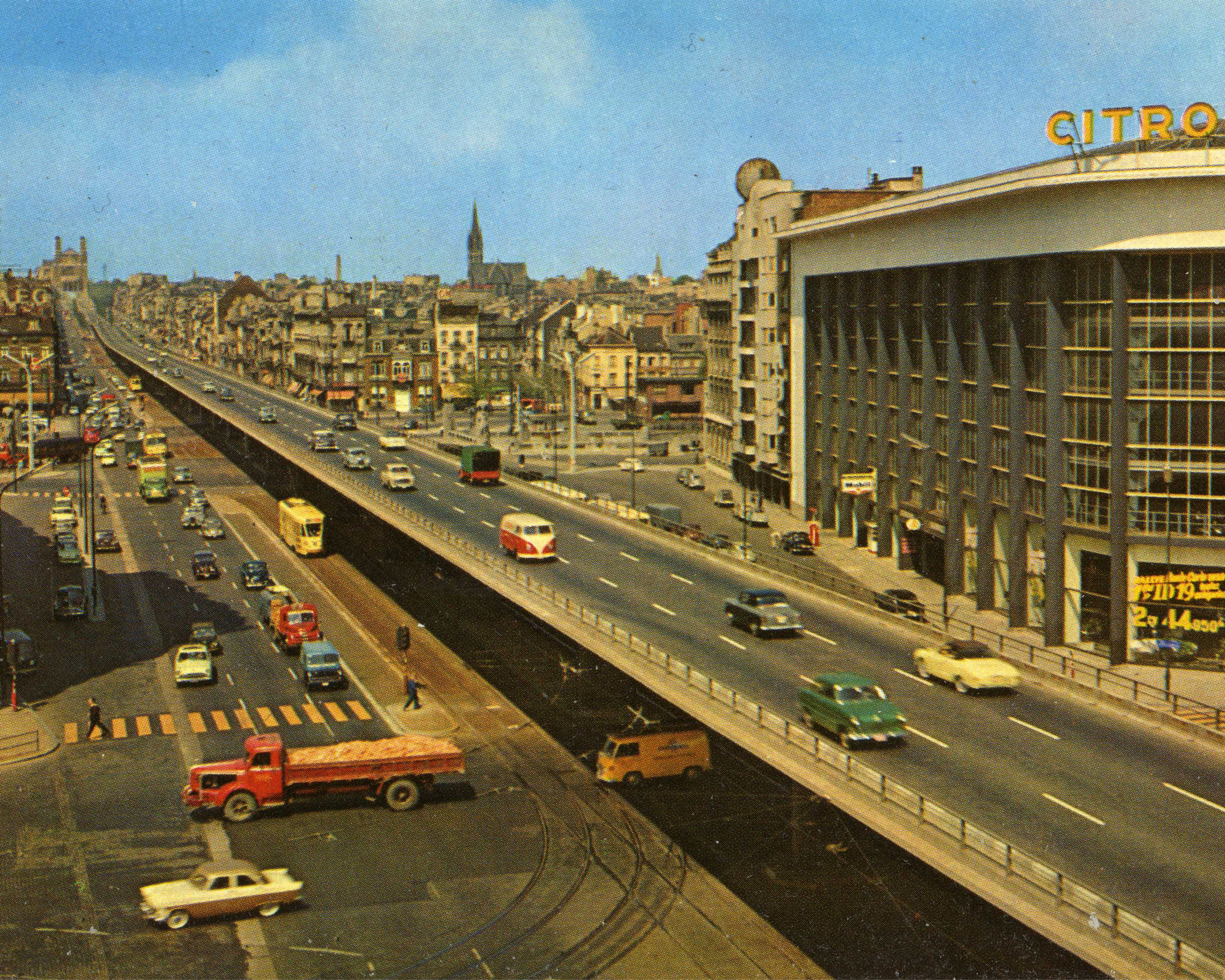
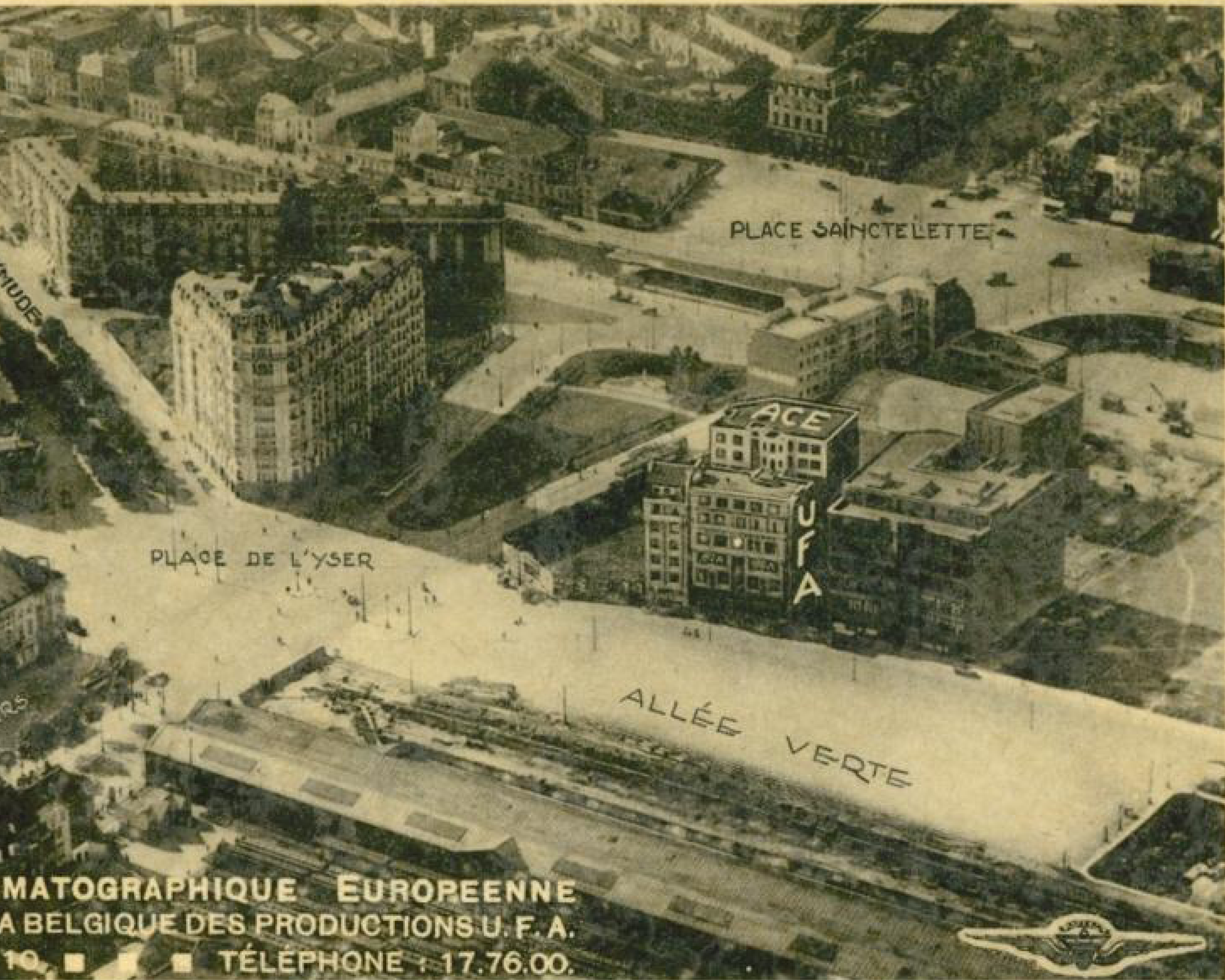
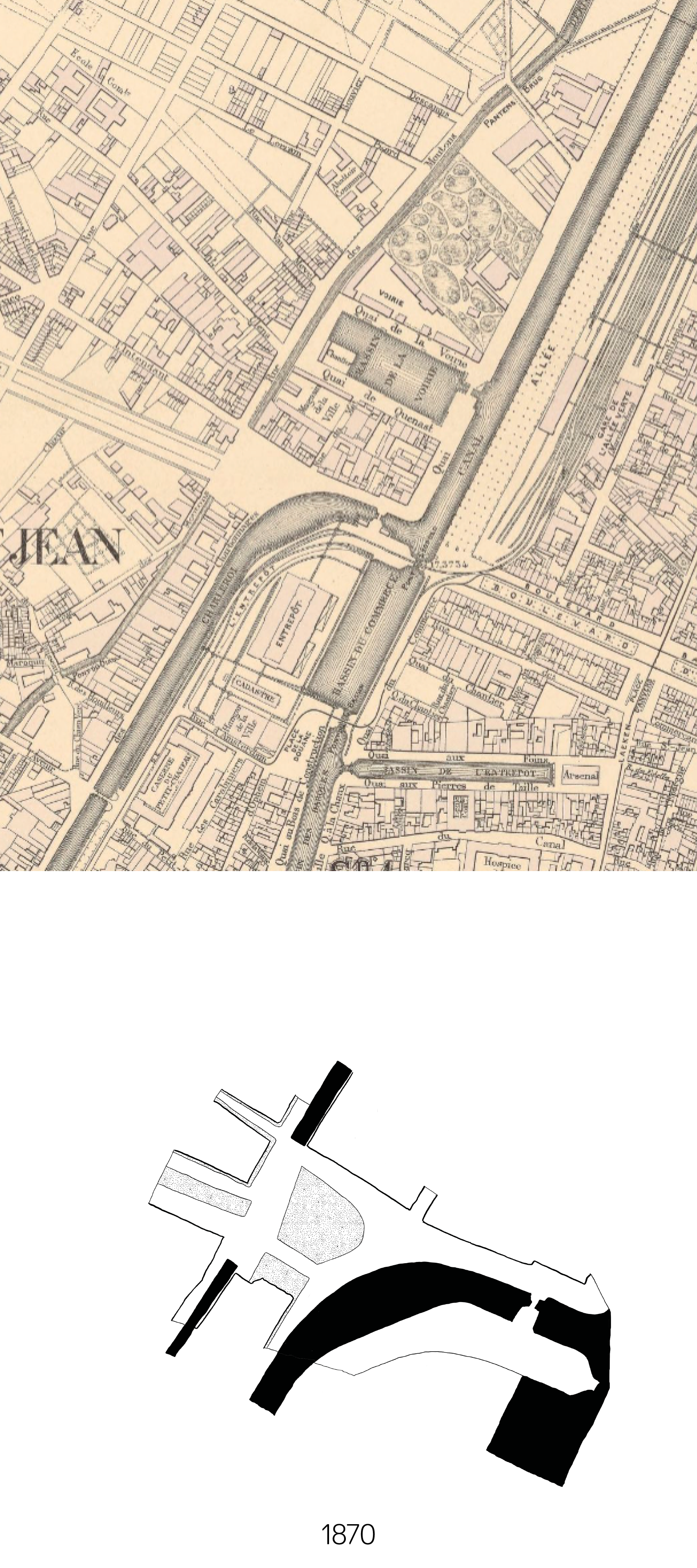
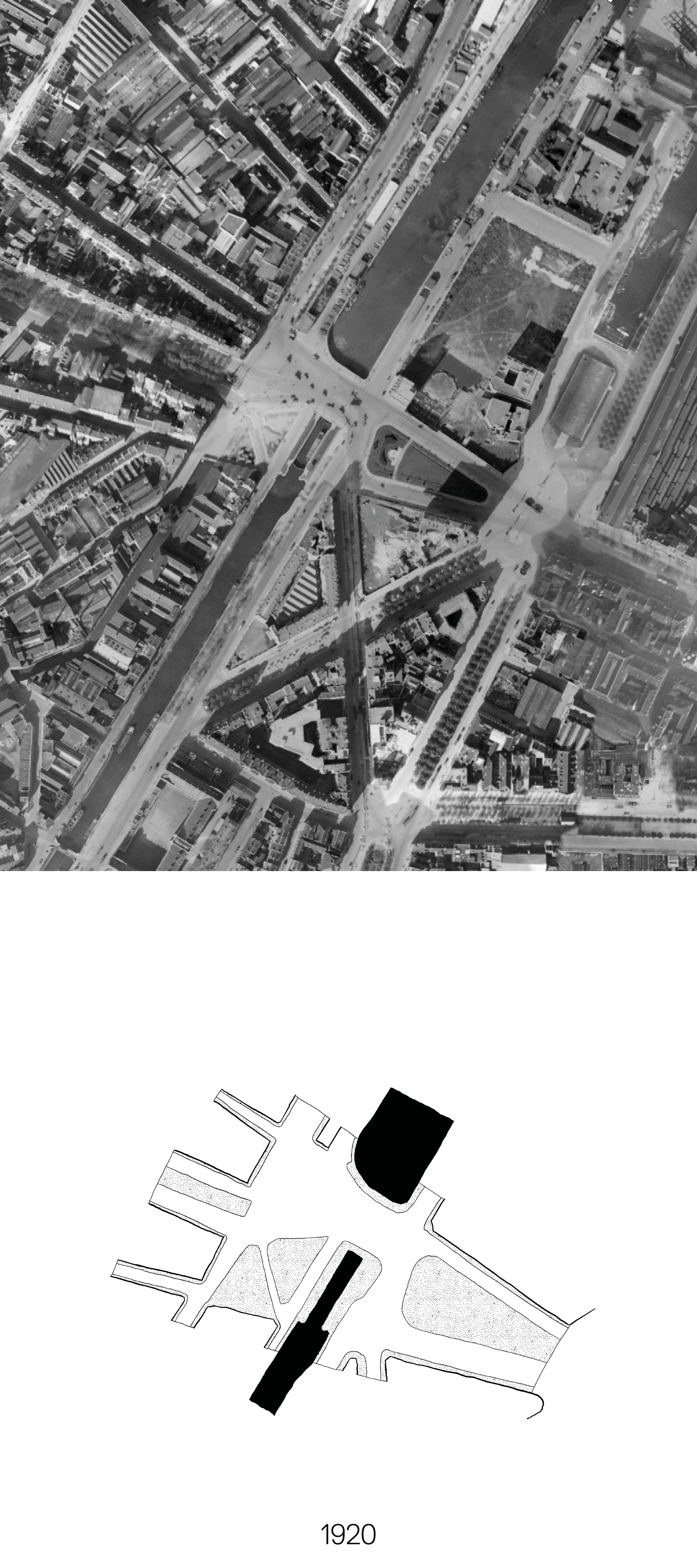
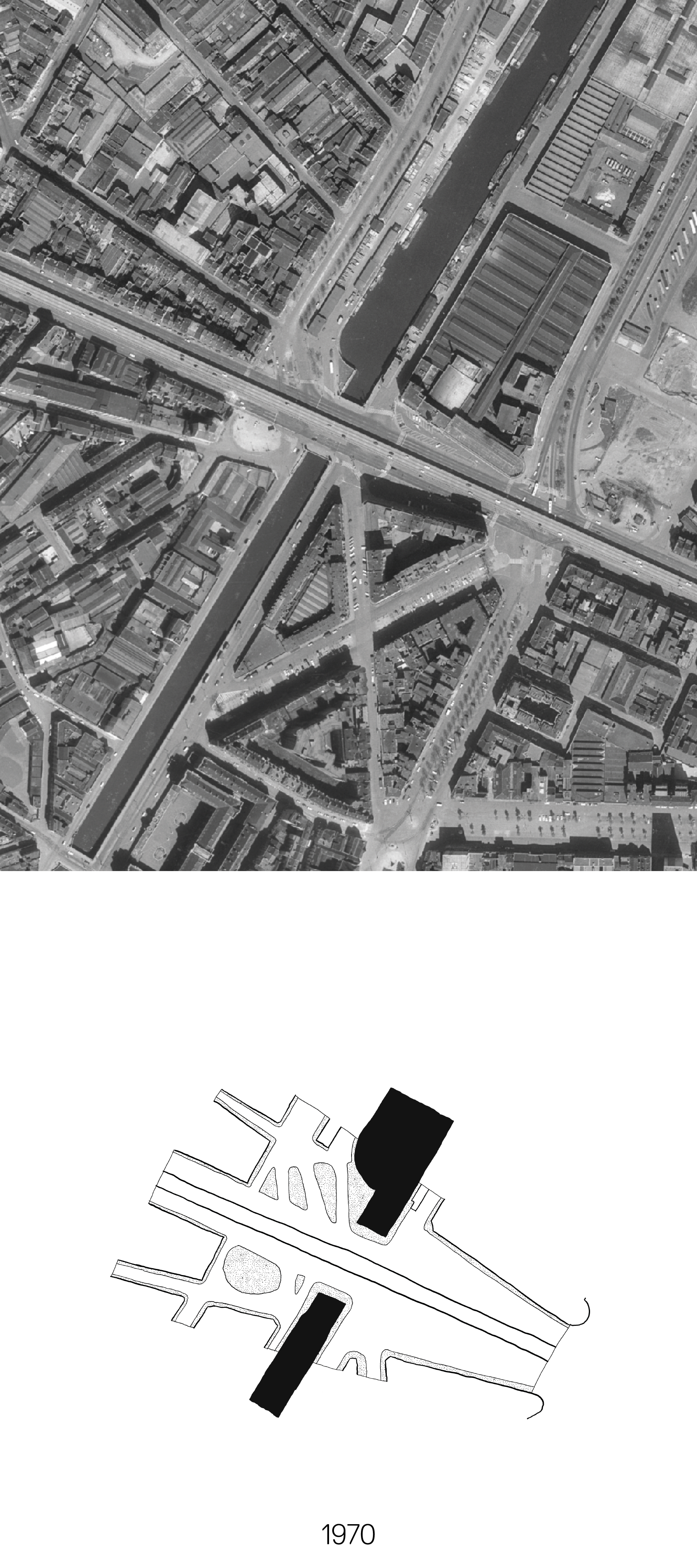
Over time, the Senne Valley has been crisscrossed by numerous waterways, canals, and infrastructure. Historical maps show the gradual evolution of the area, from a location outside the city walls on the banks of the Senne to the construction of the canal, the docks, and the first railroads. These transformations fostered industrialization on the city’s outskirts and the emergence of a true ‘industrial city’ around Sainctelette. The construction of the Léopold II axis and the realignment of the canal subsequently reinforced the site’s role as an urban crossroads, connecting a wide variety of neighbourhoods and communities. Today, the gradual decline of industrial activities is ushering in a new era of development along the canal, with the creation of housing, amenities, green spaces, and new public areas. Sainctelette is thus becoming a metropolitan compass: a place of orientation and reference, where the views reveal the coherence of the Brussels region.
A crossroads at the intersection of Brussels’ neighbourhoods and urban eras
At neighbourhood scale, Sainctelette lies at the intersection of several urban structures and interconnected public-space networks. The site forms a link between the historic city, the new neighbourhoods along the canal, and the municipality of Molenbeek, while also connecting spaces with very different identities. From the city centre, tree-lined promenades and the former docks extend towards Place de l’Yser. To the north, Maximilien Park connects to this network and faces the tree-lined boulevards of the historic centre. The canal quays and Quai des Matériaux Park connect Sainctelette to the major open spaces along the canal, including Tour & Taxis and the Bassin Vergrote. The Léopold II axis, in turn, forms a backbone between the historic city and the productive city, linking Elisabeth Park, Rogier and the Botanical Garden.
This convergence of public spaces is supported by strong metropolitan accessibility. With the metro, tram and bus networks, the Waterbus, cycling routes, and its proximity to the Brussels-North railway station, Sainctelette is embedded in a diverse mobility network operating at local, regional and national scales. Yet the existing public realm remains characterised by fragmentation and the dominance of infrastructure. The different canal banks, neighbourhoods and modes of transport are still insufficiently connected. The redevelopment must therefore establish greater continuity and permeability between these elements, facilitate movement from one neighbourhood to another, and make transfers between different modes of transport more legible. Within the context of the canal’s urban redevelopment strategy, Sainctelette thus constitutes one of the key sites in the development of this new Brussels hub.
From infrastructure to public square: the bridge-square
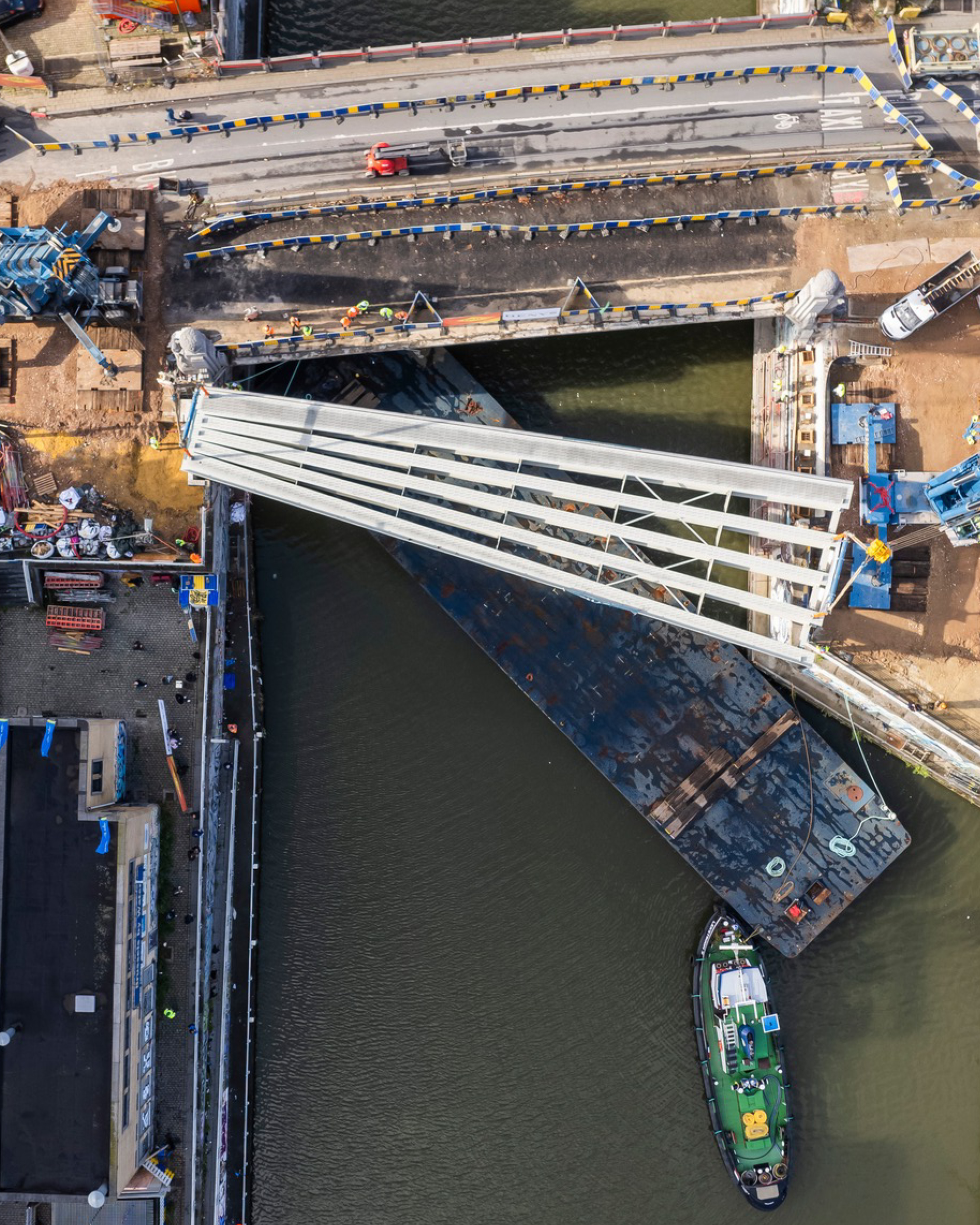
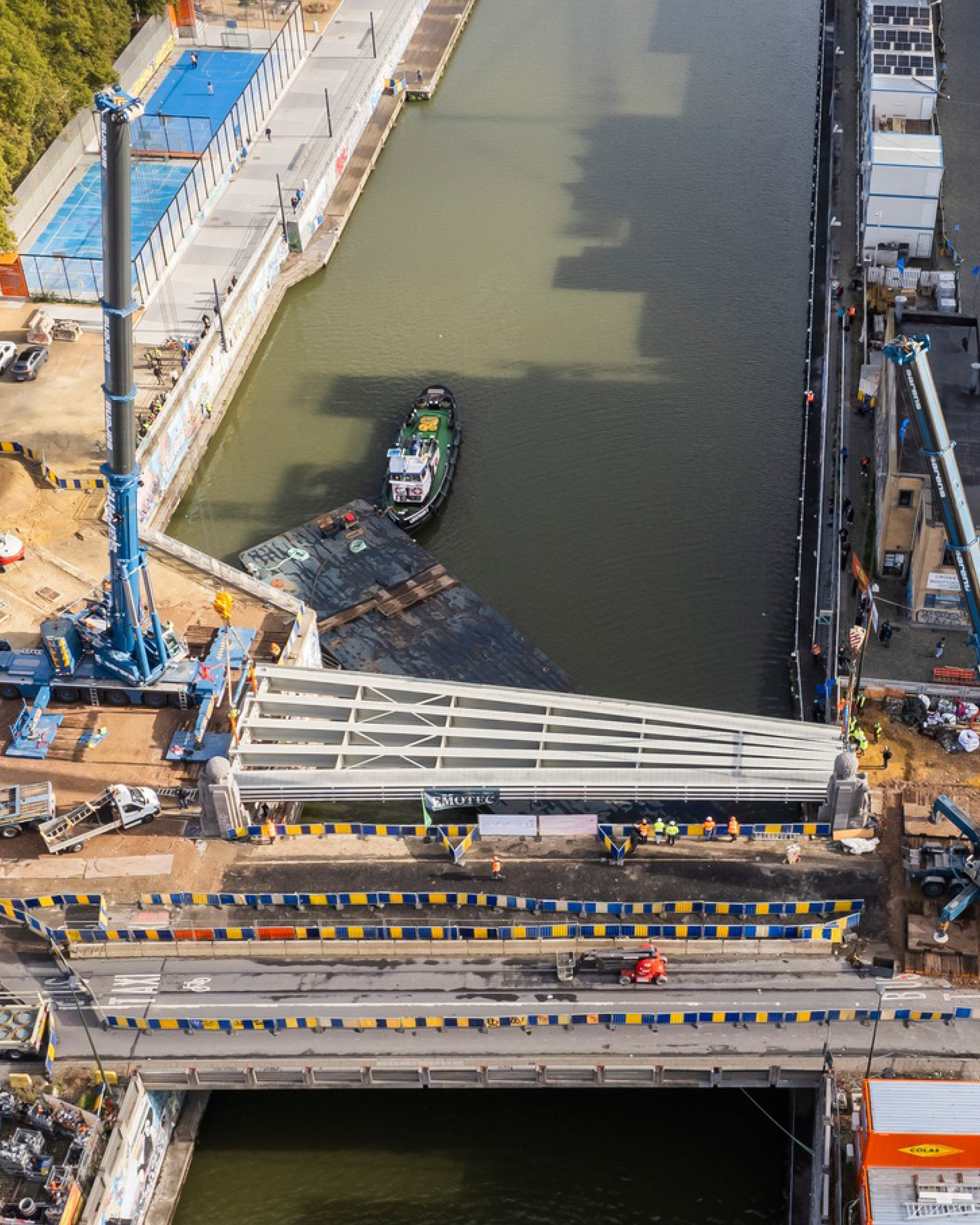
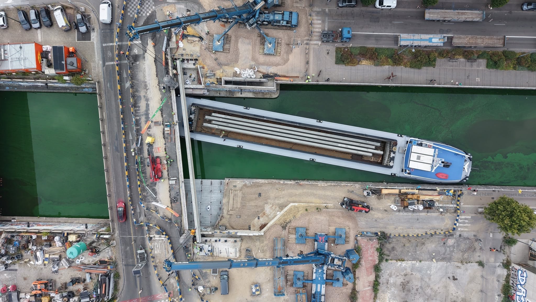


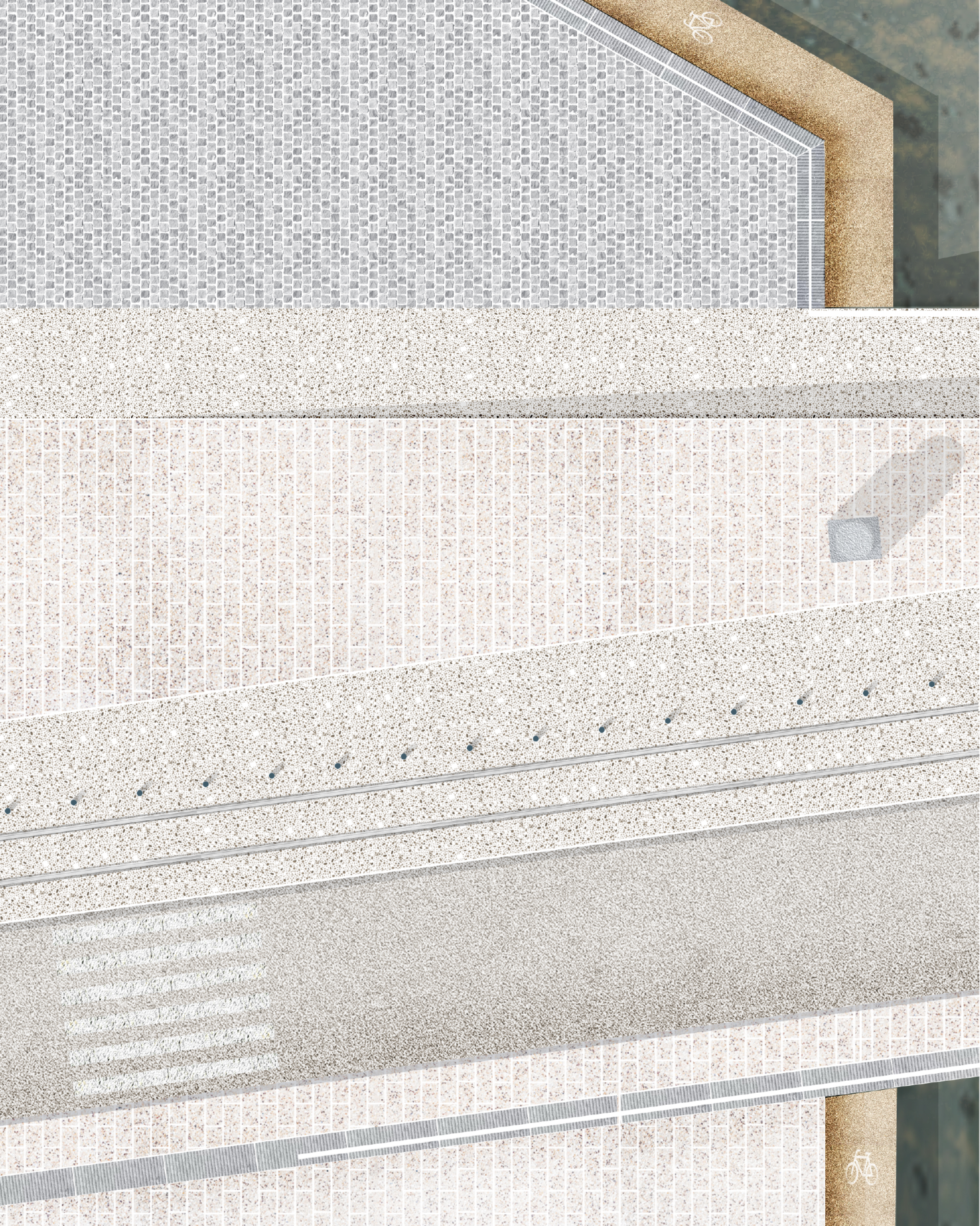
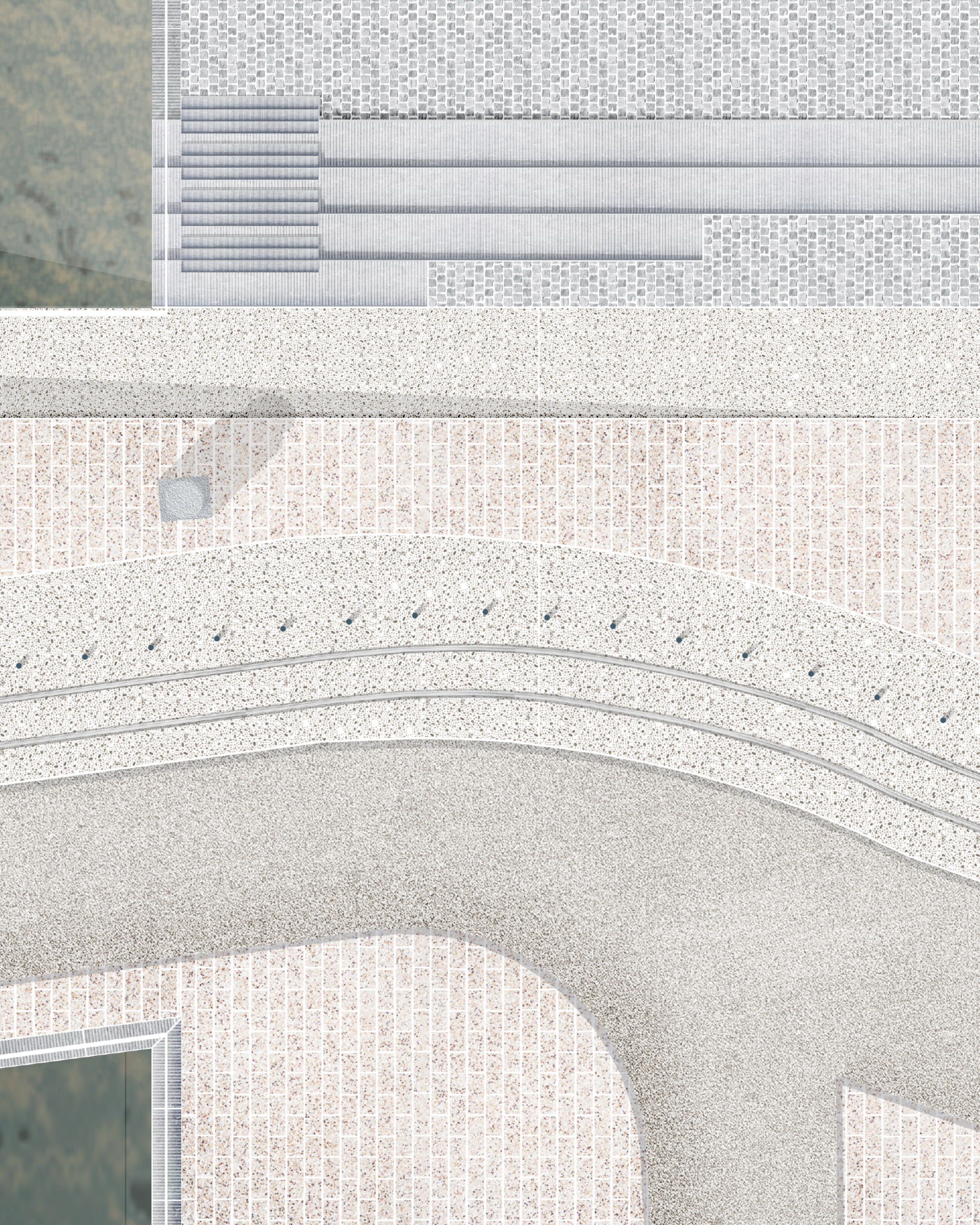
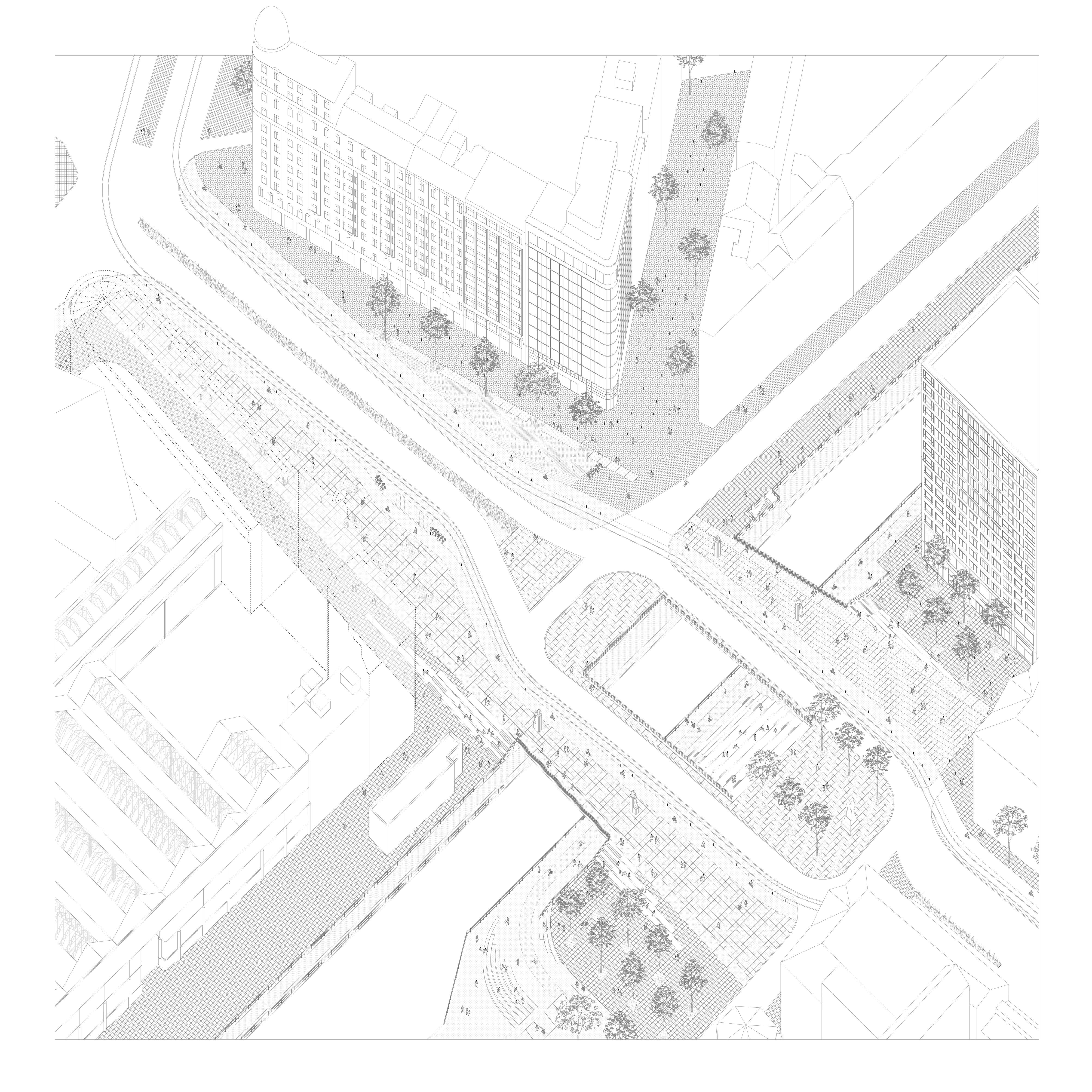
The project transforms Sainctelette into a true bridge-square: a public space that spans the canal and brings its two banks closer together. The crossing is no longer merely a traffic infrastructure; it becomes a place, a square, and a shared public space. The bridge-square reconnects urban fragments that have grown apart over time and repositions Sainctelette as a space straddling the canal, bringing together the two sides of the Senne Valley and the two municipalities. It asserts the canal as a link between the eastern and western parts of the city, rather than as a barrier.
The project rethinks the boulevard, enhances the quality of the bridges, and extends the public space all the way to the building facades. The architecture surrounding Sainctelette, sometimes iconic, helps define the space and contributes to ‘make room’ for the square. Two major landscaped promenades, combining landscape design, urban composition, and active mobility, structure this new public square. To the south, the promenade extends the tree-lined routes of the historic city centre and connects the public spaces around the Léopold II axis. To the north, it accompanies the ‘productive city’ and the Bassin Béco, while highlighting the broader landscape of the canal and the port. It provides access to the Quai des Matériaux Park, the Quai des Péniches, the Kaaitheater, the Kanal museum, and Maximilien Park.
The bridge-square also brings together, through spatial connections and sweeping views, different parts and different eras of Brussels. Views towards the canal, the port, the Koekelberg Basilica, Rogier, and the Botanical Garden establish new visual connections between architectural landmarks and the neighbourhoods to which they belong. These landmarks contribute to the formation of a mental map of the city and make the space that connects them more legible. Sainctelette thus becomes a point of convergence between landscape, public space, and mobility: a new hub for the city and the neighbourhoods surrounding it.